 THALWEG
Hydroacoustic monitoring · Grand Rapids, Michigan
thalweg
n. — the deepest continuous line along a river channel
Channel cross-section
Deepest point at 30% of width
It's also a plain description of what our software goes looking for. Thalweg watches a river with sound, in water too dark and too turbid for any camera, and reports what swam through it. It runs for a whole migration rather than a handful of survey nights.
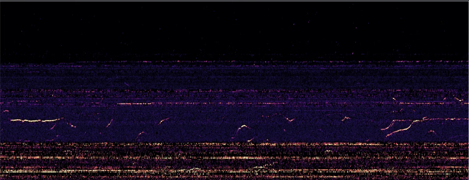
Sonar solves the seeing problem. Sound carries through darkness and suspended sediment, so a river that defeats a camera is still measurable. What's hard is the interpretation. In a raw echo, a fish, a log, an air bubble and a drifting mat of weed can all look much the same, and separating them is slow work even for a trained reader. A season produces thousands of recordings, and almost none of what they contain is a fish.
Thalweg takes that first pass automatically and returns a short, ranked list a biologist can actually work through.
Watching in the dark
A fixed split-beam array covers one channel for an entire spawning run. Night and turbid flood water don't interrupt it.
Every target in three dimensions
Each crossing is reconstructed as a path through the beam. A track records how far away the target was, which way it was heading, and how long it stayed in view.
Sorting fish from everything else
The overwhelming majority of what a river returns is not a fish. Thalweg does that sorting first, so an expert's time goes to the small share worth a look.
Where this goes
Lake sturgeon on the Grand River is the problem we know best, and the one the instrument was built against. It isn't the only place where somebody owes a regulator a number and has no continuous way to produce one. Dam relicensing and fish passage work run into it. So do restoration projects that need a before and an after, and agency and tribal programs that set seasons against run timing.